


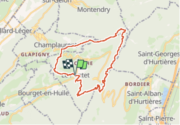

8.4 km | 15.5 km-effort

User


FREE GPS app for hiking
 SityTrail
IGN / Geographical institutes
SityTrail World
The world is yours!
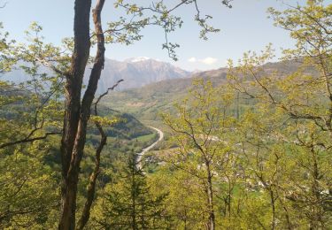
Trail Horseback riding of 16.9 km to be discovered at Auvergne-Rhône-Alpes, Savoy, Le Pontet. This trail is proposed by xhakon.
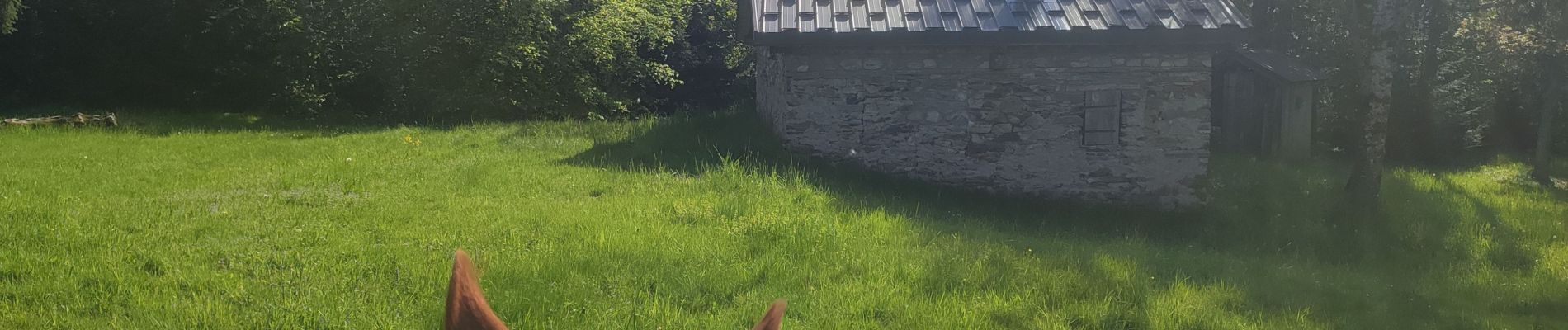
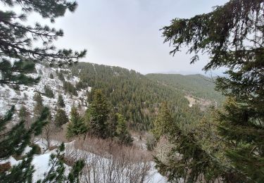
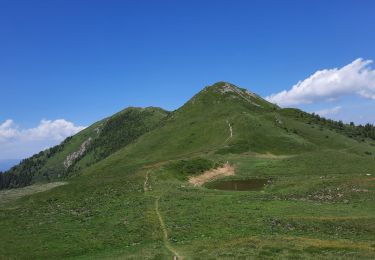
une vraie rando de montagne, avec des passages difficiles à très difficiles, mais des chemins magnifiques.


Walking
Walking
Walking
Walking
Walking
Walking
Walking
Walking
Walking
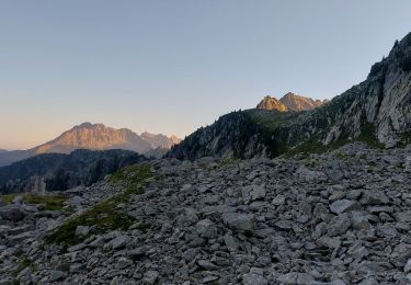
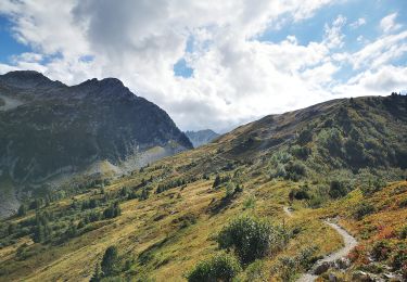
Attention, tour difficile ! Une randonnée magnifique à réaliser, mais peu roulante car de gros reliefs qui auraient pu etre evités, et des chemins mal entretenus et mal balisés. -entre le kilometre 1 et 2, chemin difficile à trouver cause balisage aléatoire et arbres ecroulés. Passages difficiles -entre les kilomètres 2 et 4, enorme raidillons montant puis le meme en redescendant, sans reelle utilité puisque pas de vue et chemin d'exploitation forestiere en mauvais etat. Recommandation: rester sur le large chemin forestier de Champet qui rejoint le Col du Grand Cucheron -entre les kilomètres 4 et 7, nous avons essayé de prendre le chemin de crête puis finalement abandonné, beaucoup trop raide, glissant, voir dangereux. Nous avons rejoint le gros chemin forestier qui est bien plus roulant. Le reste est relativement bon, voir carrement facile, avec encore quelques arbres sur le chemin vers le Mont Troncheret, et des chemins mal indiqués vers Grange Dimier (mais superbes !!) Une randonnée magnifique mais qui nous a bien éreintées, car des difficultés imprévues et difficiles à voir sur les cartes. A faire avec prudence Si vous suivez les indications ci dessus, c'est du gâteau, et un regal !